
TOKO MARU Vessel Details

Description
TOKO MARU built in 1996 is a vessel in the Fishing Support Vessel. Its IMO number is 9138484 and the current MMSI number is 431856000. The vessel has callsign JHEL. Summer deadweight is 1109. Her current width is reported to be 87 / 14 m meters. Her length overall (LOA) is 87 meters. TOKO MARU is sailing under the flag of Japan. Latest reported draught is 6 meters.
Similar vessels
| Vessel | Built | GT | DWT | Size (m) |
|---|---|---|---|---|
| 1991 | 2421 | 1157 | — | |
| 2018 | 2475 | 1061 | 90 / 14 m | |
| 1983 | 1786 | 1131 | 72 / 12 m | |
| 1984 | 2661 | 1140 | 70 / 16 m | |
| 2006 | 499 | 1128 | 64 / 10 m | |
| 2023 | 2274 | 1130 | 91 / 15 m | |
| 2024 | 2644 | 1130 | 91 / 15 m | |
| 2023 | 2644 | 1130 | 91 / 15 m |
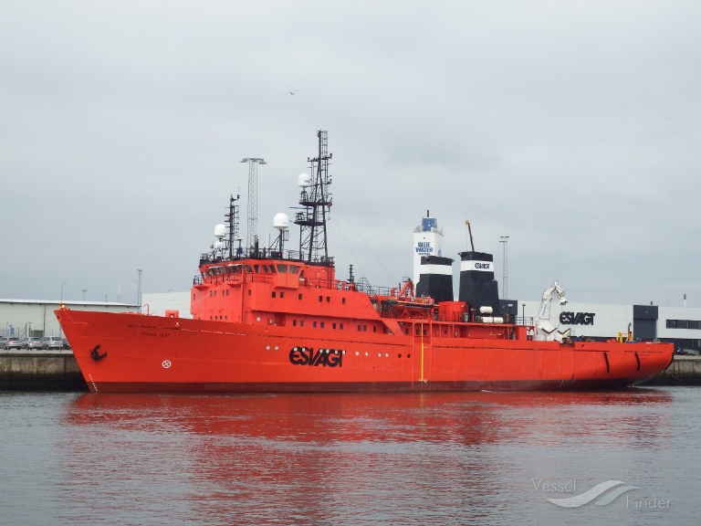
Fishing Support Vessel
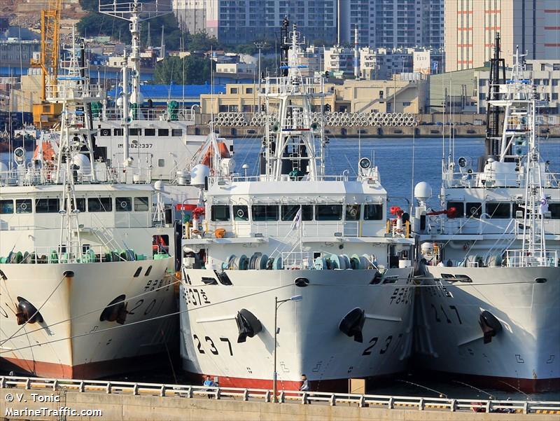
Fishing Support Vessel

Fishing Support Vessel
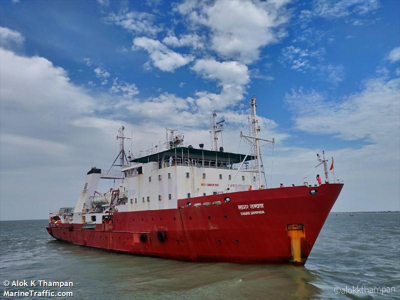
Fishing Support Vessel

Fishing Support Vessel

Fishing Support Vessel

Fishing Support Vessel

Fishing Support Vessel
Disclaimer: TOKO MARU current position and history of port calls are received by AIS. Maritime Database provides technical specifications, tonnages, and management information. The information is provided by Maritime Database for free and without any assurance. TOKO MARU data is provided for informational reasons only, and Maritime Database assumes no responsibility for its accuracy or reliability.